You are filling in a form, sending a parcel to Al Hamra Mall, or meeting someone at Al Hamra Metro Station, and you need the Al Hamra postal code right now. Here it is: 13217. The wider Al Hamra zone runs 13215 to 13217, so your street decides which code in that range is yours.
Al Hamra is an established residential district in east Riyadh, built around King Abdullah Road and its metro station. Its homes, mall, and shops use this code every day. This page gives you the code for your street, the full range, and a way to check your exact building code, all for Al Hamra only.
What Is the Al Hamra Postal Code?
The Al Hamra postal code is 13217, and the wider Al Hamra zone runs 13215 to 13217. The number breaks down as 1 for the Riyadh region, 32 for the eastern sector, and 17 for the Hamra zone. It is also called the ZIP code, the term international websites use for the same five digit number.
Al Hamra is where east Riyadh lives and shops. Its villas and apartments, Al Hamra Mall, and the shops along King Abdullah Road use 13217 on forms, deliveries, and registrations every day. If you are sending a parcel to a home on Al Bahar Street, ordering delivery to Al Hamra Mall, or registering an address near the metro station, 13217 is the code you start with, and the table below gives you the code for your street.
Al Hamra Postal Codes by Street and Building
| Code | Street / Area | Note |
|---|---|---|
| 13217 | Al Bahar Street, Al Masani Street, Al Dawoud Street, Al Raya Street | Main district code. Use this for most Al Hamra addresses. |
| 13215 | Al Hamra Mall area, Sheikh Hasan Ibn Hussein Ibn Ali Road | Building code. The mall's own address uses 13215. |
| 13216 | Eastern edge, Eastern Ring Road, Al Hokair Land area | Building code. |
If your building is not on this table, use 13217 for the district and check your exact building code on the SPL National Address map. The short check is in the How to Find section below.
Why Different Websites Show Different Al Hamra Codes
The confusion in Al Hamra comes from two codes that sit next to the district code. Al Hamra Mall's own address uses 13215, so guides and listings that copy the mall's address show 13215 for Al Hamra. The mall sits in the King Faisal area at the edge of the district, and 13215 is the King Faisal code, not the Al Hamra district code.
The code 13216 appears on addresses along the Eastern Ring Road and the Granada side of the district, such as the former Al Hokair Land site and Dr Sulaiman Al Habib Hospital Al Hamra. Those are building codes for the eastern edge, not the district code.
The district code itself is not disputed. 56ok, zipcode.com.ng, and REGA verified Bayut listings on Al Bahar, Al Masani, Al Dawoud, and Al Raya streets all use 13217. Use 13217 for the district. Use the table above for your street. Use the SPL map for your exact building.
Where Is Al Hamra?
Al Hamra sits in east Riyadh, in the eastern 13 zone, on King Abdullah Road. It is about 25 minutes from King Khalid International Airport by car. The district's other main roads are Sheikh Jaber Al Ahmad Al Sabah Road, Imam Saud Bin Abdulaziz Road, and Sheikh Hasan Ibn Hussein Ibn Ali Road.
The district sits next to Al Khaleej postal code to the east, Al Naseem postal code to the north-east, Granada to the south, and King Faisal to the west. Its position on King Abdullah Road, with a metro station that joins two lines, is why so many homes, shops, and offices are here, and why the code 13217 appears on so many east Riyadh addresses. King Abdullah Road continues west into Al Ishbiliya, and the Al Ishbiliya postal code covers the homes around City Centre Ishbiliyah station on the same Red Line. The Al Hamra postal code appears on home addresses across the district, from the villas behind King Abdullah Road to the apartments near the metro station.
Many people in Riyadh still give directions by landmark instead of a code. They say “near Al Hamra Mall” or “behind Al Hamra Metro Station” rather than 13217. That works for a taxi driver, because drivers know the big mall and the station. It does not work for a delivery or an official form, because a landmark covers a whole area and the code points to your street. Give both together: “Al Bahar Street, near Al Hamra Mall, 13217”.
Famous Landmarks in Al Hamra
Al Hamra Mall: the district's main mall, on King Abdullah Road, opened in 2017, with more than 80,000 square metres and over 167 shops and restaurants. Its own address uses 13215.
Al Hamra Metro Station: the station on King Abdullah Road where the Red Line and the Purple Line meet. It is the landmark most people use to find the district.
Al Hamra Park: a park in the district, near the mall and the metro station, used by families in the area.
Granada Mall: a large mall just south of the district, on the Eastern Ring Road, close enough that people in Al Hamra shop there too.
Just past the mall, the Al Qurtubah postal code covers the hotels and offices around Exit 8 on the Eastern Ring Road.
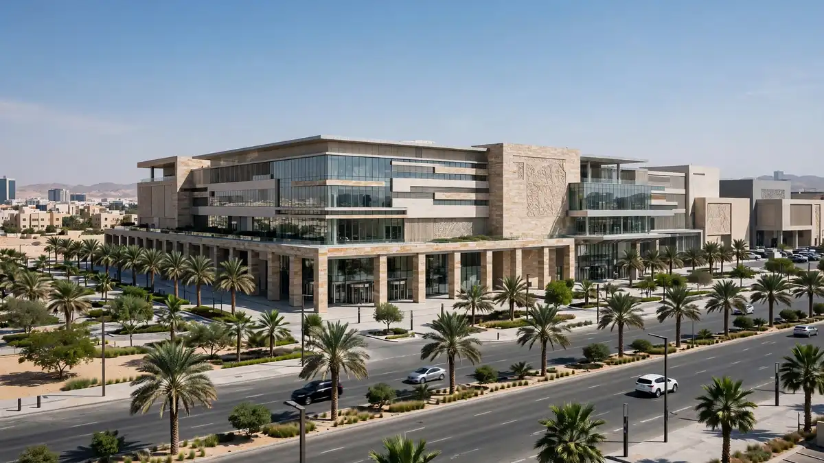
Shopping and Dining in Al Hamra
Al Hamra Mall: shops, restaurants, and a cinema on King Abdullah Road.
Granada Mall: shops and restaurants just south of the district, on the Eastern Ring Road.
Zeila: a breakfast restaurant in Al Hamra, on Imam Abdullah Ibn Saud Ibn Abdulaziz Road, in the 13217 area.
Living in Al Hamra
Al Hamra is an established residential district, not a new suburb. Its villas and apartments sit along King Abdullah Road and the streets behind it, and the mall, the metro station, and the shops are all inside the district. That is why the code 13217 appears on so many home addresses, delivery orders, and school forms.
Transport and Getting Around
King Abdullah Road runs through the district, with Sheikh Jaber Al Ahmad Al Sabah Road and the Eastern Ring Road nearby, and bus routes run along King Abdullah Road. Al Hamra Metro Station sits on King Abdullah Road and serves the Red Line and the Purple Line, so the district connects to KAFD, the airport side, and the eastern neighbourhoods by metro. King Khalid International Airport is about 25 minutes away by car. Drivers heading there from Al Hamra use the King Khalid International Airport postal code when a form or a parcel needs the airport address. The Al Hamra postal code covers every street in the district, from King Abdullah Road to the streets behind the mall.
Schools and Hospitals
Mathnasium Al Hamra sits on Al Cheikh Hasan Ibn Hussein Ibn Ali Road, in the 13217 area. Dr Sulaiman Al Habib Hospital Al Hamra sits on King Abdullah Branch Road, in the 13216 area at the eastern edge. Al Hammadi Hospital in Al Nuzha is a short drive away. Schools in the district sit along King Abdullah Road and the streets behind it.
How to Find Your Exact Al Hamra Postal Code
The table above gives you the district code. Your exact building code comes only from the official SPL National Address map. Open the map, search your building in Al Hamra, and the map shows the exact code. The fastest check is the green plate on your building, which carries the full address. For a delivery, give the driver the code and the nearest landmark, and share your GPS location as well. The full steps are on the homepage, in the How to Find Your Exact Postal Code section.
How to Write an Al Hamra Address
Here is one example for a home delivery in Al Hamra:
Home delivery address, Al Hamra
Building No. 8464, Al Cheikh Hasan Ibn Hussein Ibn Ali Road, Al Hamra District,Riyadh 13217-3803, Saudi Arabia
Use the district code 13217 with your building number after a dash. The full address format is on the homepage.
Frequently Asked Questions
What is the postal code of Al Hamra, Riyadh?
Is the Al Hamra postal code 13217 or 13215?
What is the ZIP code for Al Hamra?
What is the postal code for Al Hamra Mall?
How do I find my exact building code in Al Hamra?
Does Al Hamra have one postal code or several?
Explore Other Riyadh District Postal Codes
Looking for another district? The full list of all 34 Riyadh districts is on the homepage. Neighbouring district pages are linked below.
Conclusion
The Al Hamra postal code is 13217, and the wider zone runs 13215 to 13217. Use the table above for your street, and check your exact building code on the SPL National Address map. For the full Riyadh list and the how-to steps, see the homepage.
Sources
- SPL National Address map (maps.splonline.com.sa): official lookup for the exact building code.
- en.56ok.com/zipcode_SA/riyadh/al-riyadh.html: Al Hamra 13217; King Faisal 13215.
- zipcode.com.ng/2025/09/riyadh-postal-codes.html: Al Hamra 13217.
- bayut.sa listings (REGA verified): Al Hamra 13217 on Al Dawoud, Al Masani, Al Bahar, Al Raya, and Abdulrahman Al Nasiri streets.
- imtilak.sa/en/articles/alhamra-area-guide-riyadh: area guide, roads, metro, airport about 25 minutes, Al Hamra Mall.
- ksaexpats.com/riyadh-metro/: Al Hamra station, Red Line and Purple Line.
- wanderlog.com (Cenomi Al Hamra Mall): mall near Al Hamra Metro Station, address 13215.
- nike.com (Al Hamra Mall store): Riyadh 13215.
- aroundus.com (Al Hokair Land): Eastern Ring Road, Riyadh 13216; closed April 2021.
- mathnasium.com/sa-en/math-centers/alhamra/our-team: 8464 Al Cheikh Hasan Ibn Hussein Ibn Ali, Al Hamra, 3803, Riyadh 13217.
- doctify.com (Dr Sulaiman Al Habib Hospital, Al Hamra): King Abdullah Branch Road, Riyadh 13216.
- instagram.com (Time Out Riyadh, Zeila): Imam Abdullah Ibn Saud Ibn Abdulaziz Road, Al Hamra, Riyadh 13217.
- mdpi.com/2220-9964/14/5/199 (2025 study, 295 households): only 15.6% rely on the street addressing system for navigation; 81.4% share GPS locations instead.
- expatfocus.com/saudi-arabia/guide/saudi-arabia-postal-service: the old landmark-directions approach now regularly results in delivery failures; always supply the correct National Address code.